OFFICIAL
DESCRIPTION CHANGE
OFFICE:
Research and Analytics
EFFECTIVE
DATE: 10-17-2018
COUNTY:
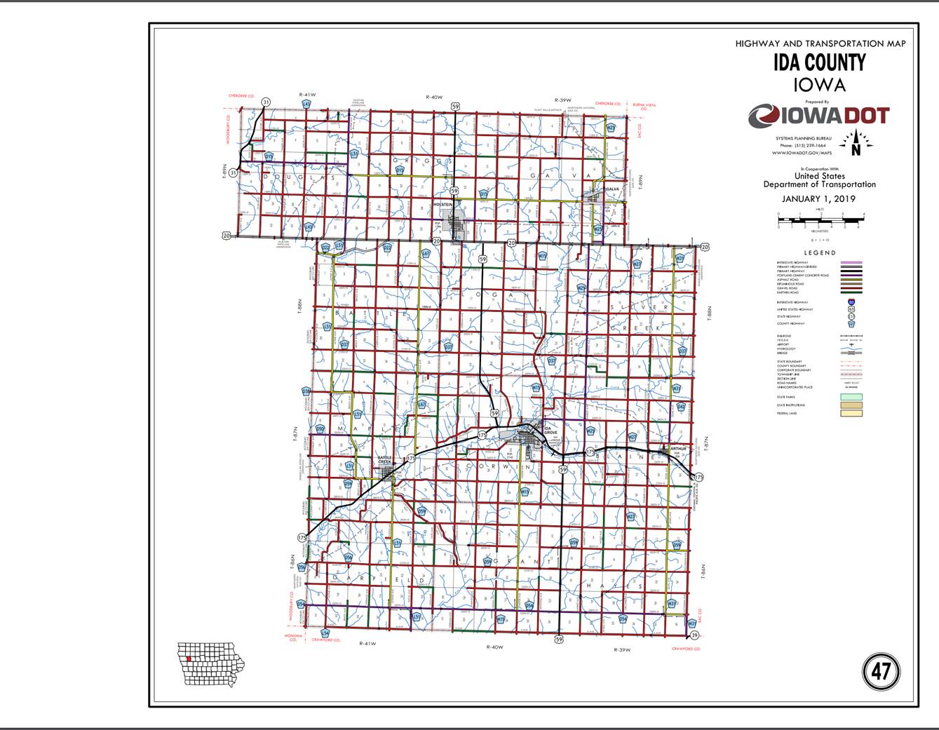
Ida
ROUTE:
US 20
ENTERED
BY: Paul Mauer
ENTERED
DATE: 11-22-2019
New Description- US 20 and its
extensions in Ida County are described as follows.
Beginning
on the Ida‑Woodbury County line at a point near the NW Corner of Section
6-T88N-R41W; thence westerly following substantially along the north section
lines of Sections 6, 5, 4, 3, 2 and 1-T88N-R41W, to a point near SW Corner of
Section 34-T89N-R40W; thence curving northeasterly and following substantially
the north section line of Section 6
(west junction US 59), 5 (east junction US 59), 4, 3, 2, and 1-T88N-R40W;
thence easterly following substantially the section line of Sections 6, 5, and
4‑T88N‑R39W to the Ida‑Sac County line at a point
approximately 800 feet east of the N ¼ Corner Section 4‑T88N‑R39W,
Ida County (SW Corner Section 31‑T89N‑R38W, Sac County); thence
easterly along the Ida‑Sac County line following substantially the
section of Sections 4, 3, 2, and 1‑T88N‑R39W to a point near the NE
Corner of Section 1‑T88N‑R39W, Ida County (a point approximately
1500 feet east of the SW Corner of Section 34‑T89N‑R38W, Sac
County).
COMMISSION
ORDER
DIVISION: Planning & Research
COMMISSION
ORDER NUMBER:
PR-79-272
SUBMITTED
BY: C.I. MacGillivray
MEETING
DATE:
11-2-78
DISCUSSION/BACKGROUND:
Due
to a review of our
US
20 begins at the Ida‑Woodbury County line approximately 4 miles west of
Cushing and travels in an easterly direction to the Ida‑Sac County line
approximately 7 miles southeast of Galva, Iowa.
PROPOSAL/ACTION
RECOMMENDATION:
Locate
US 20 in Ida County as follows:
Beginning
on the Ida‑Woodbury County line at a point near the SW Corner Section 31‑T89N‑R41W,
Ida County (SE Corner Section 36‑T89N‑R42W, Woodbury County);
thence easterly along the Ida‑Woodbury County line (see Woodbury County)
to a point near the NW Corner Section 6‑T88N‑R41W, on the Ida‑Woodbury
County line; thence continuing easterly following substantially the section
line of Sections 6, 5, 4, 3, 2, and 1‑T88N‑R41W and Section 6 (west
junction US 59), 5 (east junction US 59), 4, 3, 2, and 1-T88N-R40W to a point
near the N ¼ Corner Section 1-T88N-R40W; thence southeasterly to a point
approximately 1,000 feet west and 500 feet south of the NE Corner of Section 1‑T88N‑R40W;
thence a northeasterly direction through the north part of Section 1‑T88N‑R40W
and Section 6‑T88N‑R39W to a point approximately 800 feet east of
the N ¼ Corner Section 6‑T88N‑R30W; thence easterly following
substantially the section line of Sections 6, 5, and 4‑T88N‑R39W to
the Ida‑Sac County line at a point approximately 800 feet east of the N ¼
Corner Section 4‑T88N‑R39W, Ida County (SW Corner Section 31‑T89N‑R38W,
Sac County); thence easterly along the Ida‑Sac County line following
substantially the section of Sections 4, 3, 2, and 1‑T88N‑R39W to a
point near the NE Corner of Section 1‑T88N‑R39W, Ida County (a
point approximately 1500 feet east of the SW Corner of Section 34‑T89N‑R38W,
Sac County).
NOW,
THEREFORE: Be it resolved that the Iowa
Department of Transportation approve the location of US 20 in Ida County,
NOTE: To become effective upon adoption of this
resolution.
OFFICIAL
DESCRIPTION CHANGE
COUNTY: Ida
ROUTE: US 20
APPROVAL
DATE: 3-5-58
Beginning
on the Ida‑Woodbury County line at a point near the SW Corner Section 31‑T89N‑R41W
Ida County (SE Corner Section 36-T89N‑R42W Woodbury County); thence in an
easterly direction along the Ida‑Woodbury County line to the Ida‑Woodbury
County line at a point approximately 68 feet south of the NW Corner Section
6-T80N-41W; thence continuing in an easterly direction following substantially
the section line to a point on the south side of the Chicago and Northwestern
Railway near the N ¼ Corner of Section 1-T88N-R40W; thence in a southeasterly
direction along the south side of said railroad and substantially parallel
thereto to a point approximately 1000 feet west and 500 feet south of the NE
Corner of Section 1‑T88N‑40W; thence in a northeasterly direction
through the north part of Section 1‑T88N‑R40W and Section 6‑T88N‑R39W
to a point approximately 800 feet east of the N ¼ Corner of Section 6‑T88N‑R39W;
thence east following substantially the section line to the Ida‑Sac
County line at a point approximately 800 feet east of the N ¼ Corner of Section
4‑T88N‑R39W, Ida County, (SW Corner of Section 31‑T89N‑R38W,
Sac County); thence east along the Ida‑Sac County line to a point near
the NE Corner of Section 1‑T88N‑R39W, Ida County (a point
approximately 1500 feet east of the SW Corner of Section 34‑T89N‑R38W,
Sac County).
NOTE: Designation to become effective upon the
completion and opening to traffic of relocation US 20, more specifically Ida
County project F‑248 (2) & Ida-Woodbury County Project F‑2
(11).
REVISED:
11-2-78
OFFICIAL
DESCRIPTION CHANGE
COUNTY: Ida
APPROVAL
DATE: 10-27-37
CONNECTING
CURVES
Junction
of US 20 and
Beginning
at a point approximately 300 feet east of the S ¼ Corner of Section 35-T89N-R39W;
thence curving in a northwesterly direction to a point approximately 300 feet
north of the S ¼ Corner of Section 35-T89N-R39W.
Beginning
again at a point approximately 300 feet west of the S ¼ Corner of Section
35-T89N-R39W; thence curving in a northeasterly direction to a point
approximately 300 feet north of the S ¼ Corner of Section 35-T89N-R39W.
OFFICIAL
DESCRIPTION CHANGE
COUNTY: Ida
APPROVAL
DATE: 4-14-37
CONNECTING
CURVE.
West
Junction of US 20 and US 59:
Beginning
at a point approximately 400 feet west of the SE Corner of Section 34‑T89N‑R40W;
thence curving in a northeasterly direction to a point approximately 400 feet
north of the SE Corner of Section 34‑T89N‑R40W.
East
Junction of US 20 and US 59:
Beginning
at a point approximately 700 feet south of the NW Corner of Section
4-T88N-R40W; thence north to a point approximately 600 feet south of the NW
Corner of Section 4-T88N-R40W; thence curving in a northeasterly direction to a
point approximately 600 feet east of the NW Corner of Section 4-T88N-R40W.