OFFICIAL
DESCRIPTION CHANGE
OFFICE: Research and Analytics
EFFECTIVE DATE: 10-25-2019
COUNTY: Cherokee
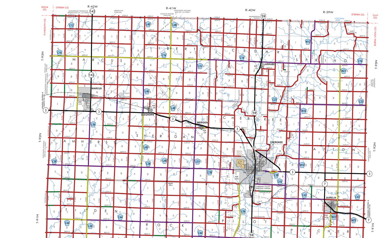
ROUTE: Iowa 3
ENTERED BY: Paul Mauer
ENTERED DATE: 10-25-2019
New
description ‑ Iowa 3 and its extensions in Cherokee County described as
follows:
Beginning
on the Cherokee‑Plymouth County line at a point near the NW Corner
Section 7‑T92N‑R42W, Cherokee County (NE Corner Section 12‑T92N‑R43W,
Plymouth County); thence east following substantially the section line of
Sections 7, 8, to middle of the Section 9-T92N-R42W at the west corporation
line of the City of Marcus.
Marcus:
Beginning
at the east corporation line; thence east to the connecting with Iowa 143 and D
Avenue at the west corporation line.
Beginning
again at the NE Corner of Section 9-T92N-R42W; thence east to the east
corporation line of the City of Marcus.
Marcus:
Beginning at the east corporation line; thence east to the west corporation
line.
Beginning
again at the west corporation line of the City of Marcus; thence east following
substantially the section lines of Section 10, 11 and 12-T92N‑R42W, continuing
along Sections 7 and 8‑T92N‑R41W to the west corporation line of
the City of Cleghorn.
Cleghorn:
Beginning
at the west corporation line east to the east corporation line.
Beginning
at the west corporation line of the City of Cleghorn continuing along Section
9-T-92N-R41W to a point near the E ¼ Corner Section 10‑T92N‑R41W; ;
thence easterly and southeasterly through Sections 11 and 12-T92N-R41W, and Sec
7‑T92N‑R40W to a point approximately ¼ mile west of the N ¼ Corner
of Section 18‑T92N‑R40W; thence following substantially the
section line of Sections 18, 17 and 16‑T92N‑R40W to a point
approximately 700 feet west of the N ¼ Corner Section 16-T92N‑R40W;
thence in a southeasterly direction through Sections 16, 15, and 22‑T92N‑R40W
(junction US 59) to the west corporation line of Cherokee, connecting with Q
Avenue.
Cherokee:
Beginning
at the west corporation line connecting with Q Avenue; thence southeasterly to
the east corporation line.
Beginning
again on the east corporation line of Cherokee, connecting with; thence
southeasterly through Section 23‑T92N‑R40W to the north corporation
line of Cherokee.
Cherokee:
Beginning
on the north corporation line connecting with an Riverview
Drive; thence southeasterly to the east corporation line.
Beginning
again on the east corporation line of Cherokee, connecting with Keeline Road; thence southeasterly through Section 25‑T92N‑R40W
to a point approximately 614 feet east of the S ¼ Corner Section 25‑T92N‑R40W;
thence east following substantially the section line of Section 36‑T92N‑R40W,
continuing along the section line of Sections 31, 32, 33, (junction Iowa 7),
34, 35, and 36‑T92N‑R39W to a point near the NE Corner Section 36‑T92N‑R39W,
Cherokee County (NW Corner Section 31‑T92N‑R38W, Buena Vista
County).
OFFICIAL DESCRIPTION CHANGE
COUNTY: Cherokee
ROUTE: Iowa 3
STAFF
ACTION NUMBER: S-87-698
APPROVAL
DATE:
12-18-86
New
description ‑ Iowa 3 and its extensions in Cherokee County described as
follows:
Beginning
on the Cherokee‑Plymouth County line at a point near the NW Corner
Section 7‑T92N‑R42W, Cherokee County (NE Corner Section 12‑T92N‑R43W,
Plymouth County); thence east following substantially the section line of
Sections 7, 8, 9, 10, 11 and 12-T92N‑R42W, continuing along Sections 7
and 8‑T92N‑R41W to a point approximately 1,100 feet east of the N ¼
Corner Section 8-T92N-R41W; thence in a southeasterly direction through
Sections 8, 9, 10‑T92N‑R41W to a point near the E ¼ Corner Section
10‑T92N‑R41W; thence easterly and southeasterly through Sections 11
and 12-T92N-R41W, and Sec 7‑T92N‑R40W to a point approximately ¼
mile west of the N ¼ Corner of Section 18‑T92N‑R40W; thence
following substantially the section line of Sections 18, 17 and 16‑T92N‑R40W
to a point approximately 700 feet west of the N ¼ Corner Section 16-T92N‑R40W;
thence in a southeasterly direction through Sections 16, 15, and 22‑T92N‑R40W
(junction US 59) to the west corporation line of Cherokee, connecting with an
unnamed street.
Cherokee:
Beginning
at the west corporation line connecting with an unnamed street; thence
southeasterly to the east corporation line connecting with an unnamed street.
Beginning
again on the east corporation line of Cherokee, connecting with an unnamed
street; thence southeasterly through Section 23‑T92N‑R40W to the
north corporation line of Cherokee connecting with an unnamed street.
Cherokee:
Beginning
on the north corporation line connecting with an unnamed street; thence
southeasterly to the east corporation line connecting with an unnamed street.
Beginning
again on the east corporation line of Cherokee, connecting with an unnamed
street; thence southeasterly through Section 25‑T92N‑R40W to a
point approximately 614 feet east of the S ¼ Corner Section 25‑T92N‑R40W;
thence east following substantially the section line of Section 36‑T92N‑R40W,
continuing along the section line of Sections 31, 32, 33, (junction Iowa 7),
34, 35, and 36‑T92N‑R39W to a point near the NE Corner Section 36‑T92N‑R39W,
Cherokee County (NW Corner Section 31‑T92N‑R38W, Buena Vista
County).
COMMISSION
ORDER
DIVISION: Planning & Research
COMMISSION
ORDER NUMBER:
PR-79-272
SUBMITTED
BY: C.I. MacGillivray
MEETING
DATE:
11-2-78
DISCUSSION/BACKGROUND:
Due
to a review of our Primary Road System records, Iowa 3 in Cherokee County
should be deleted and the new description should be
officially included into the Primary System.
Iowa
3 begins on the Cherokee‑Plymouth County line approximately 3 miles
southwest of Marcus, Iowa and travels easterly, southeasterly
and easterly to the Cherokee‑Buena Vista County line approximately 4
miles northeast of Aurelia, Iowa, via Cherokee, Iowa.
PROPOSAL/ACTION
RECOMMENDATION:
Locate
Iowa 3 and its extension in Cherokee County as follows:
Beginning
on the Cherokee‑Plymouth County line at a point near the NW Corner
Section 7‑T92N‑R42W, Cherokee County (NE Corner Section 12‑T92N‑R43W,
Plymouth County); thence east following substantially the section line of
Sections 7, 8, 9, 10, 11 and 12‑T92N‑R42W, continuing along
Sections 7 and 3‑T92N‑R41W to a point approximately 1,100 feet east
of the N ¼ Corner Section 8‑T92N‑R41W; thence in a southeasterly
direction through Sections 8, 9, 10‑T92N‑R41W to a point near the E
¼ Corner Section 10‑T92N‑R41W; thence easterly and southeasterly
through Sections 10, 11 and 12‑T92N‑R41W, and Section 7‑T92N‑R40W
to a point approximately ¼ mile west of the N ¼ Corner of Section 18‑T92N‑R40W:
thence east following substantially the section line of Sections 18, 17 and
16-T92N-R40W to a point approximately 700 feet west of the N ¼ Corner Section
16‑T92N‑R40W thence in a southeasterly direction through Sections
16, 15 and 22-T92N-R40W (junction US 59) to the west corporation line of the
City of Cherokee, connecting with an unnamed street.
Cherokee:
Beginning
at the west corporation line connecting with an unnamed street; thence
southeasterly to the east corporation connecting with an unnamed street.
Beginning
again on the east corporation line of the City of Cherokee, connecting with an
unnamed street; thence southeasterly through Section 23-T92N-R40W to the north
corporation line of the City of Cherokee, connecting with an unnamed street.
Cherokee:
Beginning
on the north corporation line connecting with an unnamed street; thence
southeasterly to the east corporation line connecting with an unnamed street.
Beginning
again on the east corporation line of the City of Cherokee, connecting with an
unnamed street; thence southeasterly through Section 25‑T92N‑R40W
to a point approximately 614 feet east of the S ¼ Corner Section 25‑T92N‑R40W;
thence east following substantially the section line of Section 36‑T92N‑R40W,
continuing along the section line of Sections 31, 32, 33, 34, 35, and 36‑T92N‑R39W
to the NE Corner Section 36‑T92N‑R39W, Cherokee County (NW Corner
Section 31‑T92N‑R33W, Buena Vista County).
NOW,
THEREFORE: Be it resolved that the Iowa Department of Transportation approve
the location of Iowa 3 in Cherokee County, Iowa.
NOTE:
To become effective upon adoption of this resolution.
REVISED:
12-18-86
COMMISSION
ORDER
DIVISION: Planning & Research
SUBMITTED
BY: Raymond L. Castile
MEETING
DATE: 9-7-76
DISCUSSION/BACKGROUND:
Due
to a review of our Primary Road System records, Iowa 3 in Cherokee County
should be deleted and the new description should be
officially included into the Primary System.
Iowa
3 begins on the Cherokee‑Plymouth County line approximately 3 miles
southwest of Marcus, Iowa and travels easterly, southeasterly
and easterly to the Cherokee‑Buena Vista County line approximately 4
miles northeast of Aurelia, Iowa, via Cherokee, Iowa.
PROPOSAL/ACTION
RECOMMENDATION:
Locate
Iowa 3 and its extension in Cherokee County as follows:
Beginning
on the Cherokee‑Plymouth County line at a point near the NW Corner
Section 7‑T92N‑R42W, Cherokee County (NE Corner Section 12‑T92N‑R43W,
Plymouth County); thence east following substantially the section line of
Sections 7, 8, 9, 10, 11 and 12‑T92N‑R42W, continuing along
Sections 7 and 8‑T92N‑R41W to a point approximately 1,100 feet east
of the N ¼ Corner Section 8‑T92N‑R41W; thence in a southeasterly
direction through Sections 8, 9, 10‑T92N‑R41W to a point near the E
¼ Corner Section 10‑T92N‑R41W; thence easterly and southeasterly
through Sections 10, 11 and 12‑T92N‑R41W, and Section 7‑T92N‑R40W
to a point approximately ¼ mile west of the N ¼ Corner of Section 18‑T92N‑R40W;
thence following substantially the section line of Sections 18, 17 and 16‑T92N‑R40W
to a point approximately 700 feet west of the N ¼ Corner Section 16‑T92N‑R40W;
thence in a southeasterly direction through Sections 16, 15, 22 (junction US
59), and 23‑T92N‑R40W to the north corporation line of the City of
Cherokee, connecting with an unnamed street.
Cherokee:
Beginning at the north corporation line connecting with
an unnamed street; thence southeasterly to the east corporation line connecting
with an unnamed street.
Beginning
again on the east corporation line of the City of Cherokee, connecting with an
unnamed street; thence southeasterly through Section 25‑T92N‑R40W
to a point approximately 614 feet east of the S ¼ Corner Section 25‑T92N‑R40W;
thence east following substantially the section line of Section 36‑T92N‑R40W,
continuing along the section line of Sections 31, 32, 33, 34, 35, and 36‑T92N‑R39W
to the NE Corner Section 36‑T92N‑R39W, Cherokee County (NW Corner
Section 31‑T92N‑R38W, Buena Vista County).
NOW,
THEREFORE: Be it resolved that the Iowa Department of Transportation approve
the location of Iowa 3 in Cherokee County, Iowa.
NOTE:
To become effective upon adoption of this resolution.
OFFICIAL
DESCRIPTION CHANGE
COUNTY: Cherokee
APPROVAL
DATE: 12-31-68
Connecting
Curve
Junction
of Iowa 3 and Iowa 143
Beginning
at a point approximately 400 feet east of the SW Corner Section 3‑T92N‑R42W;
thence curving in a northwesterly direction to a point approximately 400 feet
north of the SW Corner Section 3‑T92N‑R42W.
Beginning
again at a point approximately 400 feet west of the SE Corner Section 4‑T92N‑R42W;
thence curving in a northeasterly direction to a point approximately 400 feet
north of the SE Corner Section 4‑T92N‑R42W.
OFFICIAL
DESCRIPTION CHANGE
COUNTY: Cherokee
ROUTE: Iowa 3
APPROVAL
DATE: 1-3-62
Beginning
on the Cherokee‑Plymouth County line at a point near the SW Corner
Section 6‑T92N‑R42W, Cherokee County (SE Corner Section 1‑T92N-R34W,
Plymouth County); thence east following substantially the section line to a
point approximately 1,100 feet east of the N ¼ Corner Section 8‑T92N‑R41W;
thence in a southeasterly direction along the south side of the Illinois
Central Railroad and substantially parallel thereto through Sections 8,9, and
10‑T92N‑R41W to a point near the E ¼ Corner Section 10‑T92N‑R41W;
thence crossing to the north side of said railroad and continuing in a
southeasterly direction along the north side of said railroad and substantially
parallel thereto to a point approximately ¼ mile west of the S ¼ Corner Section
7‑T92N‑R40W; thence east following substantially the section line
to a point approximately 700 feet west of the S ¼ Corner Section 9‑T92N-R40W;
thence in a southeasterly direction through Section 16, 15 and 22‑T92N-R40W
to a point approximately 350 feet north of the center on Section 22-T92N‑R40W;
thence southeasterly through Section 22 and 23‑T92N‑R40W to the
north corporation line of the City of Cherokee, connecting with an unnamed
street.
Beginning
again on the east corporation line of the City of Cherokee, connecting with an
unnamed street; thence southeasterly through Section 25‑T92N‑R40W
to a point approximately 614 feet east of the S ¼ Corner Section 25‑T92N‑R40W;
thence east following substantially the section line to the SE Corner Section
25‑T92N‑R39W, Cherokee County (SW Corner Section 30‑T92N‑R38W,
Buena Vista County.)
REVISED: 9-7-76
OFFICIAL
DESCRIPTION CHANGE
COUNTY: Cherokee
CITY
OF: Cherokee
ROUTE: Iowa 3
APPROVAL
DATE: 1-3-62
Commencing
on an unnamed street at the north corporation line; thence southeasterly 3660
feet on said unnamed street to the east corporation line.
OFFICIAL
DESCRIPTION CHANGE
COUNTY: Cherokee
CITY
OF:
ROUTE: Iowa 3
APPROVAL
DATE: 05-15-45
Beginning
on the Cherokee-Plymouth County line, at a point near the SW Cor. Sec.
6-T92-R42, Cherokee County, (SE Cor. Sec. 1-T92-R43, Plymouth County) thence
east following substantially the section line to a point approximately 1100
feet east of the N ¼ Cor. Sec. 8-T92-R41, thence in a southeasterly direction
along the south side of the Illinois Central Railroad and substantially
parallel thereto, through Sec. 8, 9 and 10-T92-R41, to a point near the E ¼
Cor. Sec. 10-T92-R41, thence crossing to the north side of said railroad and
continuing in a southeasterly direction along the north side of said railroad
and substantially parallel thereto, to a point approximately ¼ mile west of the
S ¼ Cor. Sec. 7-T92-R40, thence east following substantially the section line
to a point approximately 700 feet west of the S ¼ Cor. Sec. 9-T92-R40, thence
in a southeasterly direction through Sec. 16,15 and 22-T92-R40 to the north cor-poration line of the city of Cherokee connecting with
Second Street.
Beginning
again on the east corporation line of the city of Cherokee, connecting with
Main Street, thence in a southeasterly direction through Sec. 35-T92-R40, and
in a northeasterly direction through Sec. 36-T92-R40, to a point approximately
1600 feet east of the NW Cor. Sec. 36-T92-R40, thence east following
substantially the section line to the SE Cor. Sec. 25-T92-R39 (SW Cor. Sec.
30-T92-R38 Pocahontas County).
OFFICIAL
DESCRIPTION CHANGE
COUNTY: Cherokee
CITY
OF:
ROUTE: Iowa 3
APPROVAL
DATE: adopted by commission 05-25-38 further action
by commission 05-15-45 (#221 changed to #3)
Beginning
at a point approximately 1100 feet west of the NE Corner of Section 33-T92-R39,
thence east following substantially the section line to the southeast Corner of
Section 25-T92-R39 at the Cherokee-Buena Vista County line. (SW Corner Section
30-T92-R38 Buena Vista County).